 |
|
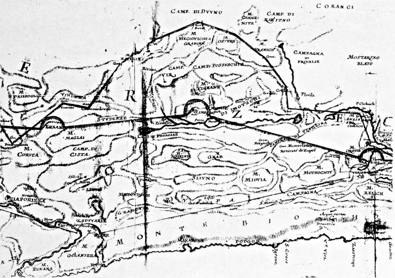
| Karta 005 |


 Image 2 of 24

|

|
| File size | 131830 |
| Original date | $originalDate |
| Resolution | $resolution |
| Flash | $flash |
| Focal length | $focalLength |
| Exposure time | $exposureTime |
| Aperture | $aperture |
| Focus Distance | $focusDistance |
| Metering Mode | $meteringMode |
| Camera model | $cameraMake $cameraModel |
| |
 |
||